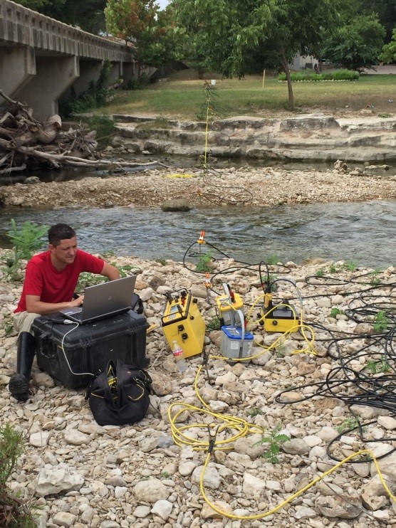
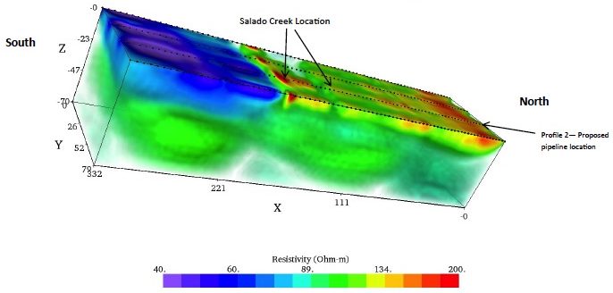
Electrical methods measure subsurface electrical resistivity (inverse of conductivity). This is a function of soil and rock physical and mineralogical properties and chemistry of pore fluids. Electrical resistivity measurements are completed when electrical current is induced into the ground through an array of electrodes. The electrode rays are expended to increase depth and the electrical readings are recorded using an electrical resistivity instrument. Collier uses electrical resistivity tomography (ERT) which used arrays of multiple electrodes to produce 2-D and 3-D tomographic images of the subsurface. Additionally Collier utilizes other electrical methods such as inverse polarization (IP) and spontaneous (SP) to characterize subsurface conditions.

Typical Applications of Electrical Methods

- Soil & bedrock lithology
- Contaminant plumes
- Lateral & vertical variations
- Aquifer characterization
- Water table depth
- Bedrock topography
- Fractures, fault, & karst mapping
- Dam and levee assessment
- Corrosion Assessment
- Grounding Surveys
- Marine applications
- 2-D & 3-D Imaging


