November 21, 2025
What Would Happen if Something Happened to Your Drinking Water Supply?
Prepared by Andrew Stone, Hydrogeologist (andrewstonewater(at)gmail.com)
A “Sole Source Aquifer” (SSA) refers to a groundwater source (aquifer) that is a main source of drinking water for a designated area. The United States Environmental Protection Agency (EPA) defines a SSA as an aquifer supplying at least 50% of the drinking water consumed in the area overlying the aquifer. Sometimes the boundaries of the SSA include recharge areas that may lie beyond the actual aquifer. SSA designation is intended to protect drinking water supplies from overuse and contamination. There are regulations and land-use restrictions for SSA zones to reduce risks of the loss of water source inventory.
The declaration of a SSA is particularly important where losing an aquifer because of contamination could lead to negative economic consequences and huge engineering costs to bring in a replacement safe alternative water supply. The EPA has authority under the 1974 Safe Drinking Water Act to determine SSAs. There are 76 Federally designated SSAs in the USA. Some examples are: Eastern Snake River Plain (ID), New Jersey Coastal Plain,(NJ), Cape Cod, Nantucket & Martha’s Vineyard, (MA), Long Island, (NY), Edwards Aquifer,(TX), Biscayne Aquifer, (FL), Dayton Buried Valley, (OH), Tucson - Santa Cruz & Avra Basin, (AZ), Columbia and Yorktown Aquifer, (MD).
In addition, tens of thousands of communities have source water protection regulations for drinking water. “Watershed protection” road signs serve to remind citizens about the value of safe dependable drinking water. Here is brief background information about just four SSAs with links to more information.
Dayton, OH

A buried valley filled with glacial sediments is the sole source aquifer system that serves over 1.5 million people in the Dayton Ohio area. The sands and gravels deposited by meltwater from glaciers over 10,000 years ago are in some places 300 feet thick. Over much of the valley-fill aquifer the water table is close to the surface, making it vulnerable to the risk of surface contamination.
Edwards Aquifer, TX

The Edwards Aquifer is the source of water for about two million people in Texas, including the city of San Antonio. Artesian wells, and the springs where water emerges from the aquifer are vital for drinking water supply and ecology. The aquifer is made up of porous and permeable limestones that reach depths of 300 to 700 feet. The limestones are broken by faults and joints, making the aquifer recharge zone vulnerable to contamination. Because of regional tilting of the rocks millions of years ago, the limestones are exposed at the surface in some places (recharge zones) and in others are buried beneath layers of sediments (artesian zones).
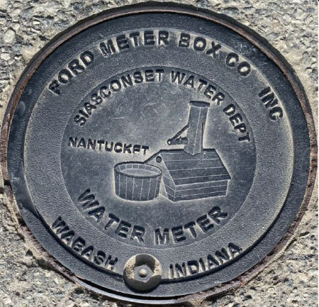
Cape Cod Aquifer, MA
The aquifers of Cape Cod and the islands are comprised of sand and gravel deposits left behind by melting glaciers 15,000 to 20,000 years ago. The glacial sediments range in depth between 200 and 600 feet. The aquifers are recharged by rain and snowmelt, and because the sediments are permeable there are very few rivers or streams. Provided that there is not too much pumping, rainfall recharge maintains a “mound” of fresh groundwater that prevents seawater from migrating to inland wells. Managing SSAs in coastal areas involves closely monitoring water quality and restricting pumping in times of drought.

Cape Cod Aquifer, MA

This SSA covers over 10,000 square miles in Idaho between Wyoming and Oregon. The main aquifer comprises volcanic basalt rocks recharged by precipitation and surface steams. Because of past overuse by pumping, the whole aquifer is now carefully managed to increase recharge and reduce pumping. Sustainable irrigation for agriculture is of great economic importance, and the aquifer is also the sole source of drinking water for 300,000 people in eastern Idaho.